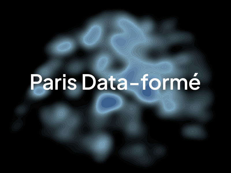
Nodesign.net presents Paris Data-Formé, a fusion of graphic, digital, and cartographic elements
Maps reveal a great deal about cities, sometimes too much. How then can we simply represent the reality of the territories and cultures that shape them? A city cannot be summed up by its maps; it is defined by the reality of the territories and cultures that comprise it. How can we account for urban phenomena beyond disembodied statistics? Paris Data-Formé explores new cartographic approaches to convey the activities that animate the French capital.
The aim of this series is to reveal the economic and commercial reality of Paris by transforming raw data into a visual narrative. At the crossroads of data visualization and poster art, this series uses artificial intelligence and design to reinvent the map. Through the use of open data, Paris Data-Formé offers a series of hybrid maps where artificial intelligence, code, and design converge. Abandoning traditional abstraction, these works fuse geographical precision and the aesthetics of the poster to offer a sensitive and graphic representation of city life.
Each piece is an invitation to rediscover Paris through the lens of its economic and commercial activities, its urban and social reality.
